
While planning a trip to visit our son in Ohio there were a few places that were suggested as “places to visit”
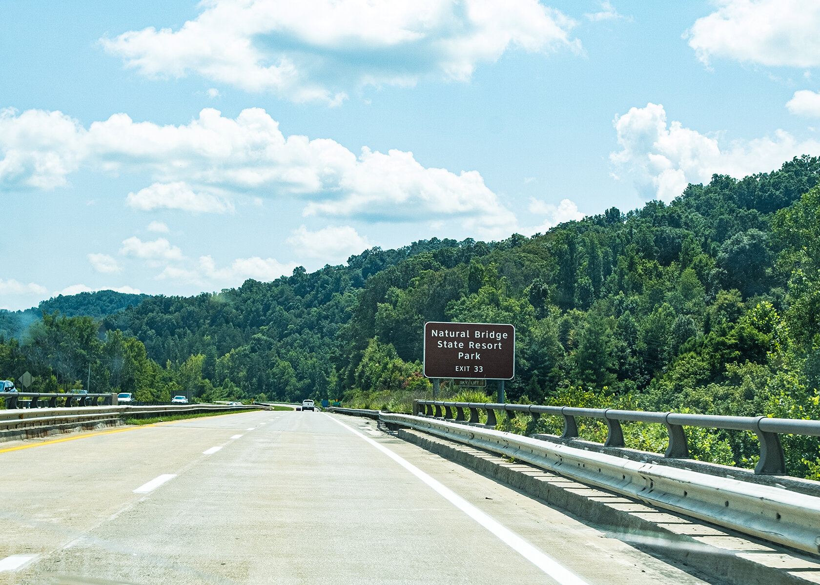
One that caught my eye was Slade, KY it had great options for outdoor adventure. We had limited time so this would have to be a short stop, but we wanted to explore to see if this would be a great location for our next travel destination.
Michael gave me the task of choosing where to stop, I chose to visit the Natural bridge for this trip.
Natural Bridge Information
Coordinates: 37.772584°N, -83.6843577°W
Approx. Elevation: 1,280 feet (390 meters)
USGS Map Area: Slade
Feature Type: Arch
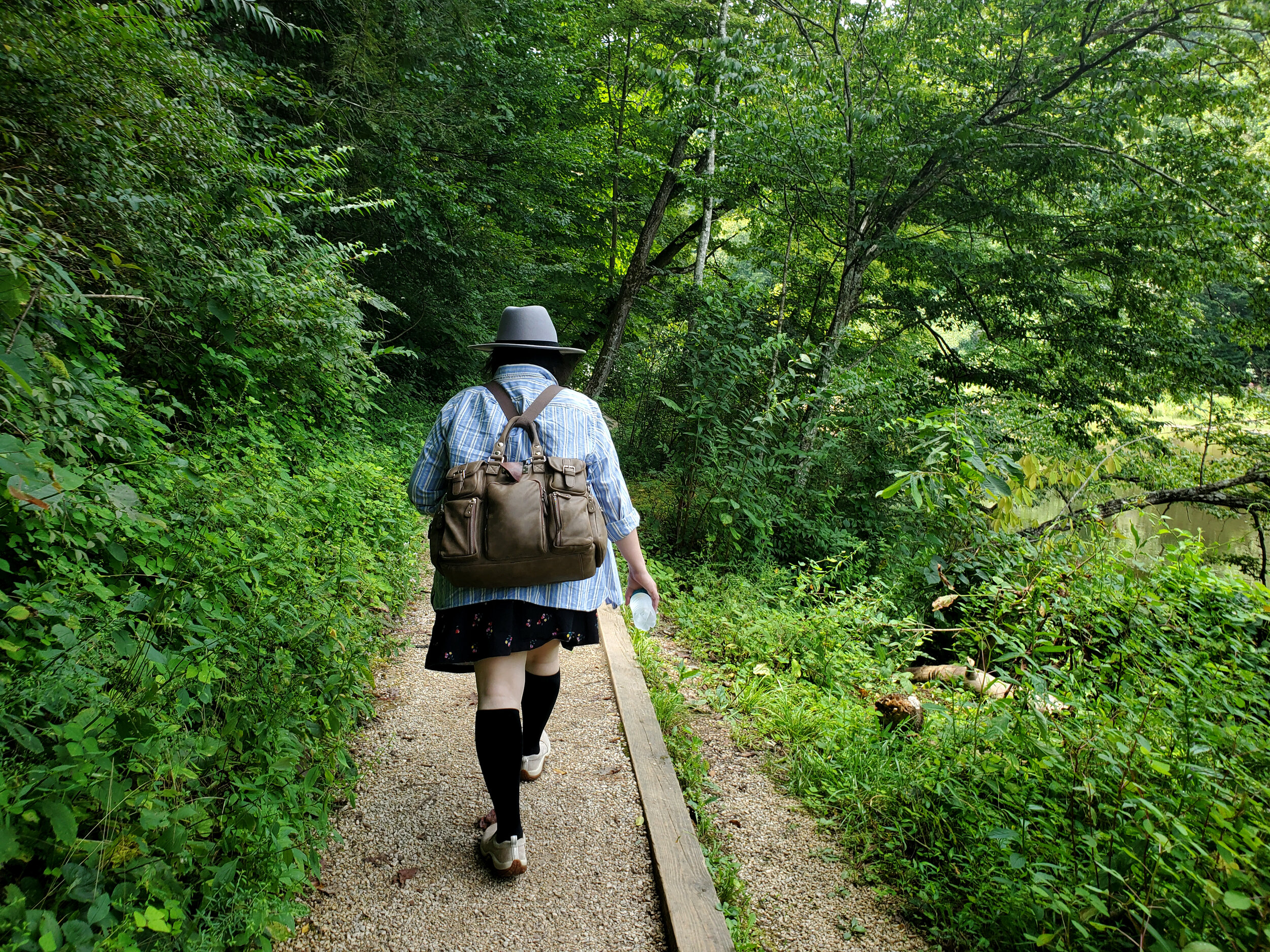
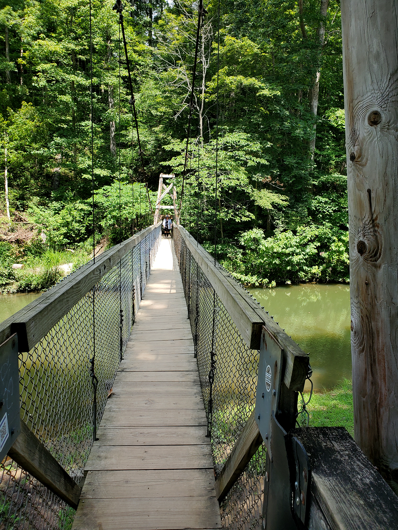
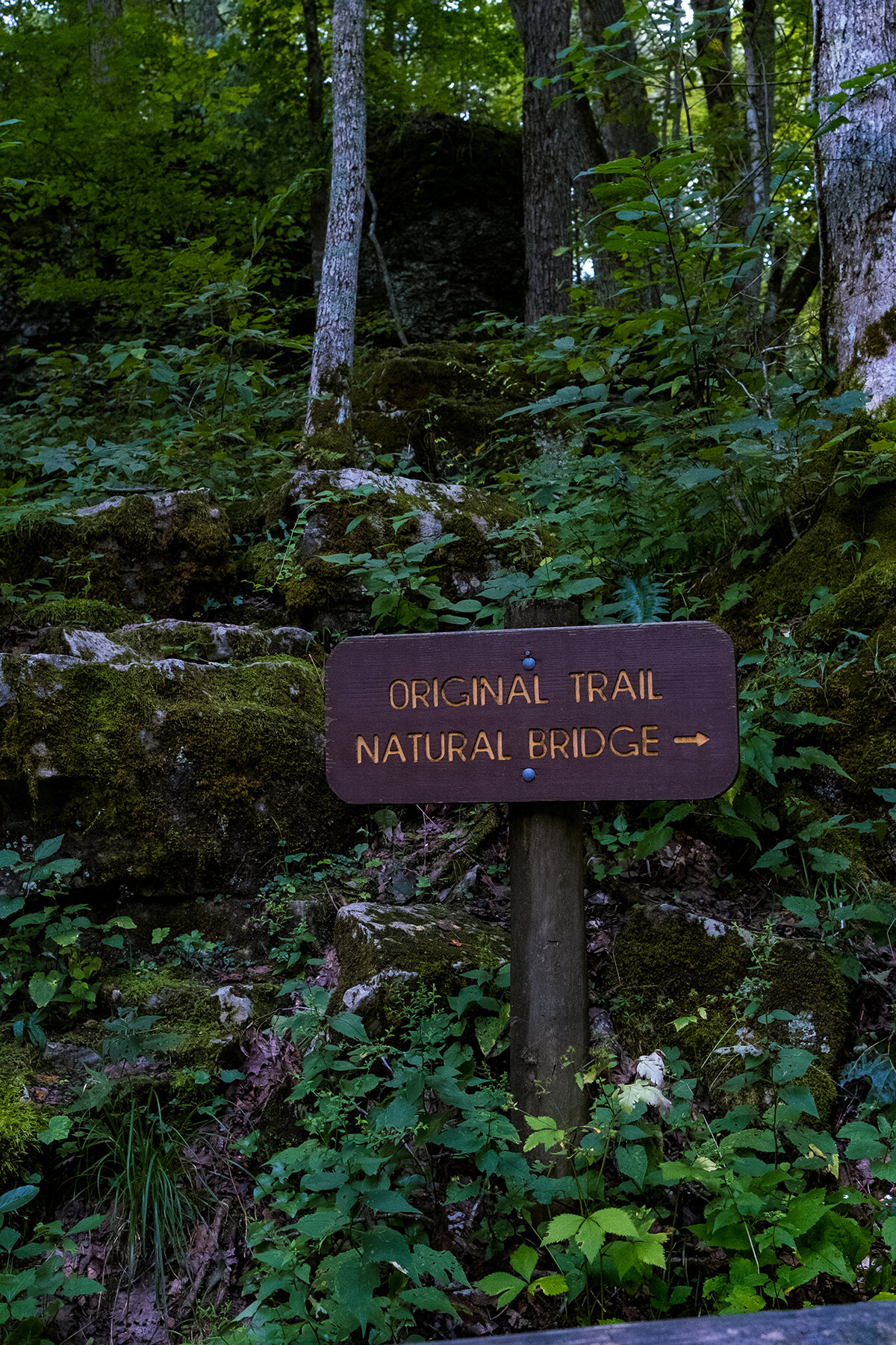
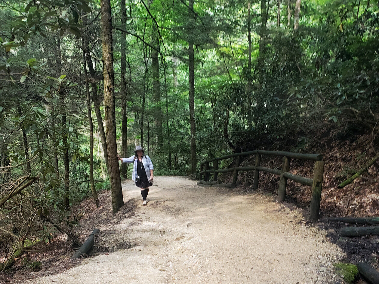
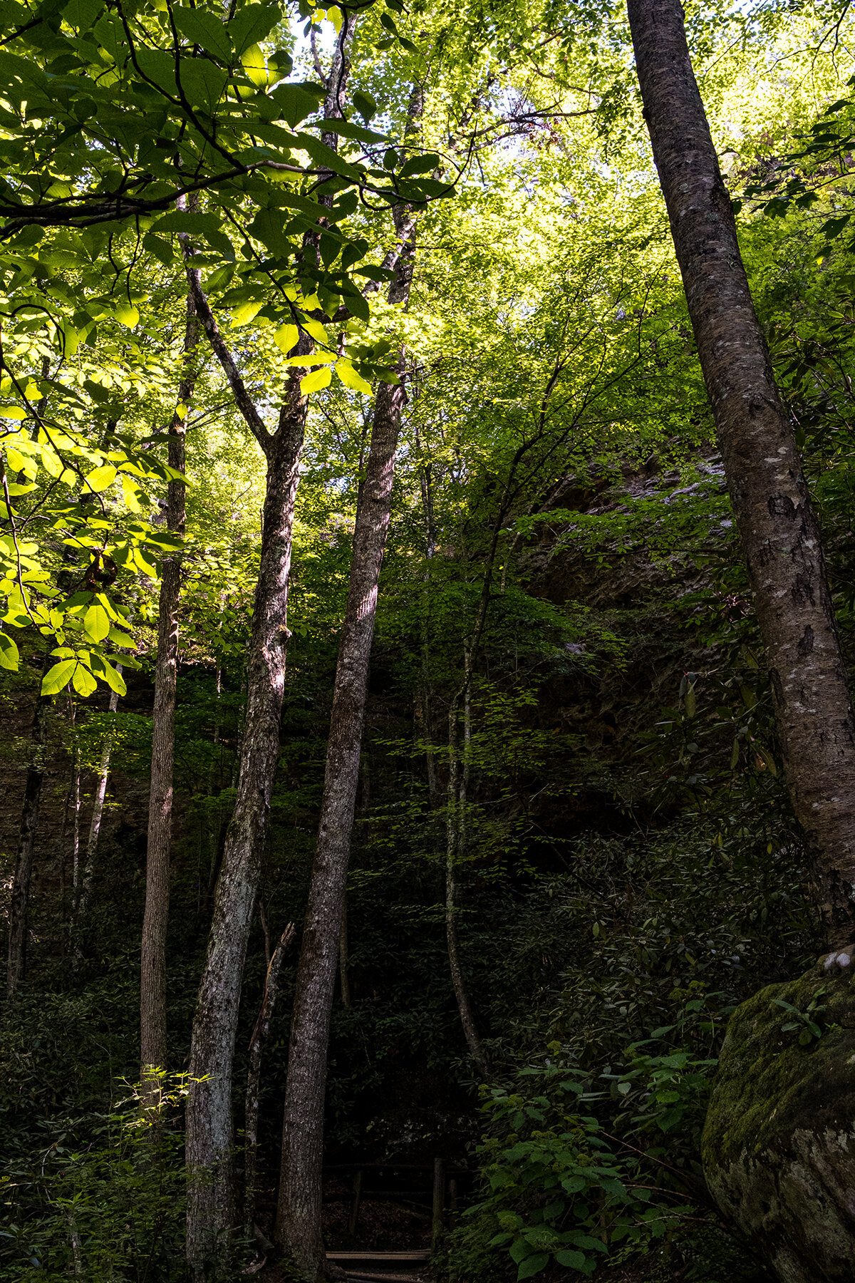
The hike, i was not prepared for, was a mile from where we found parking.
Thru a muddy path with downed trees
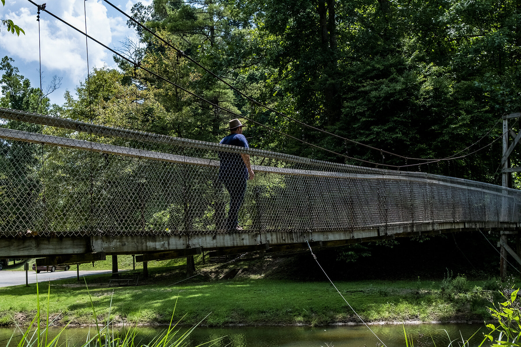
Thru a swinging wooden bridge
Thru wooden stairs
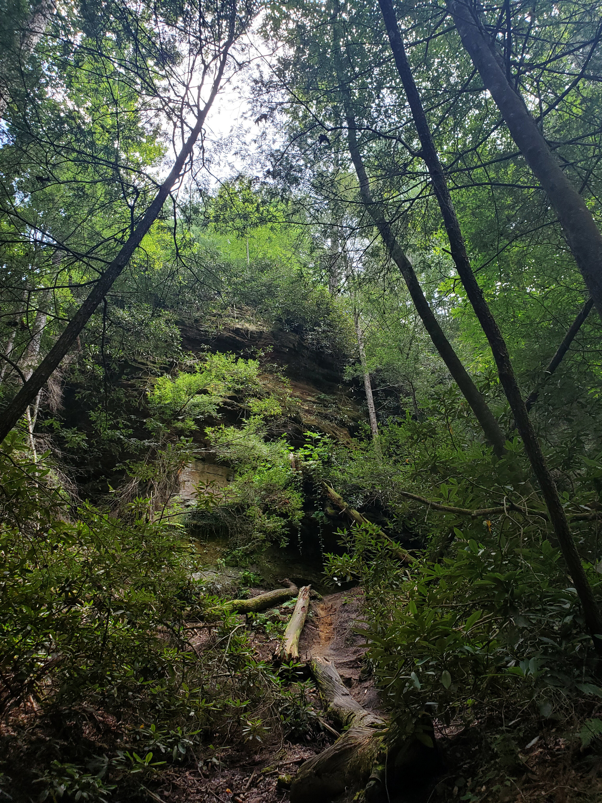
Thru limestone and sand makeshift steep stair case path
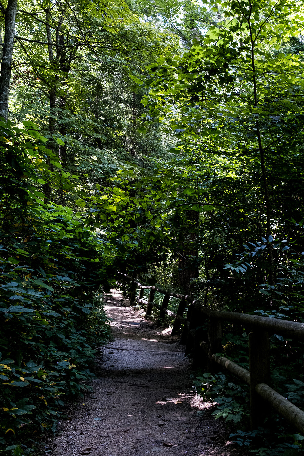
In a hot humid day. 89°F per my phone app, but it sure felt warmer.
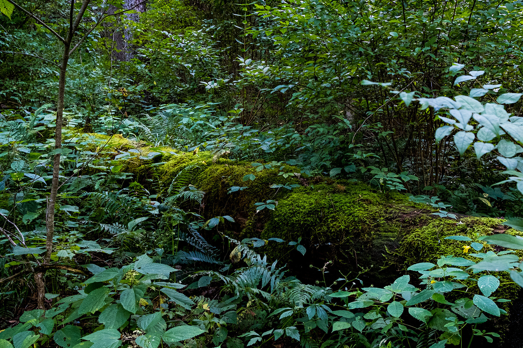
The saving grace was the beautiful canopy of tall trees, lush vegetation with moss, ferns, and a natural spring (clear cold water)
The scenery was magical and good distraction for me from the steep climb to the top to see the Natural Bridge formation.
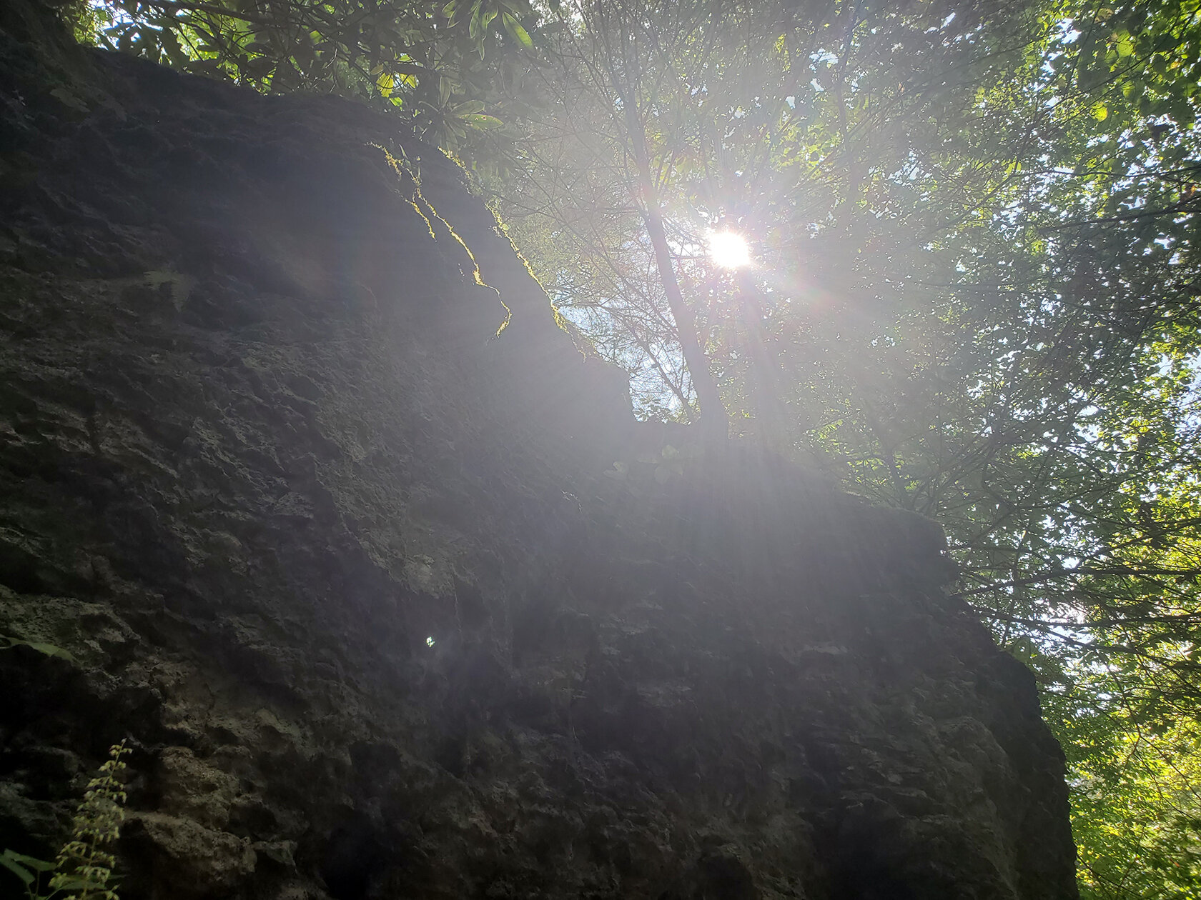
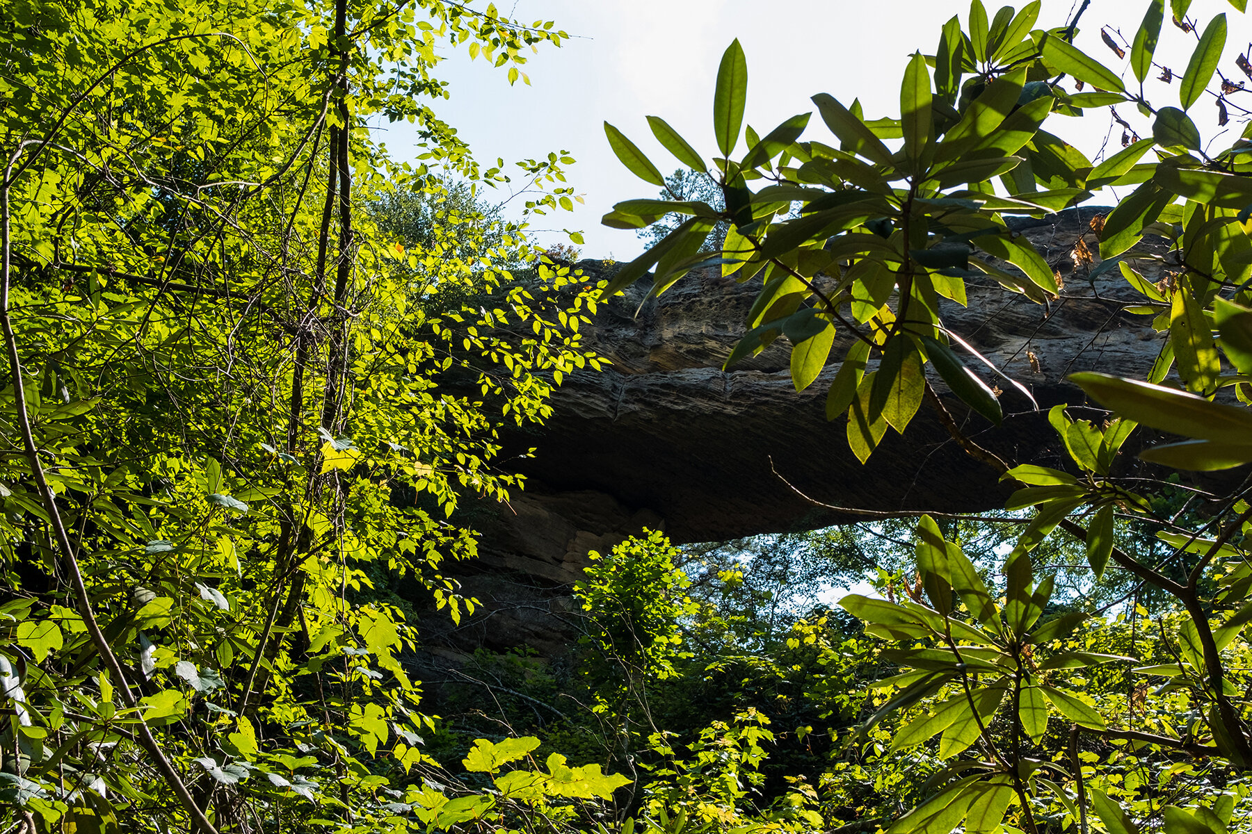
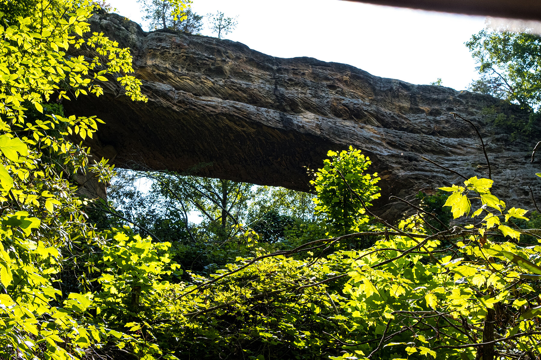
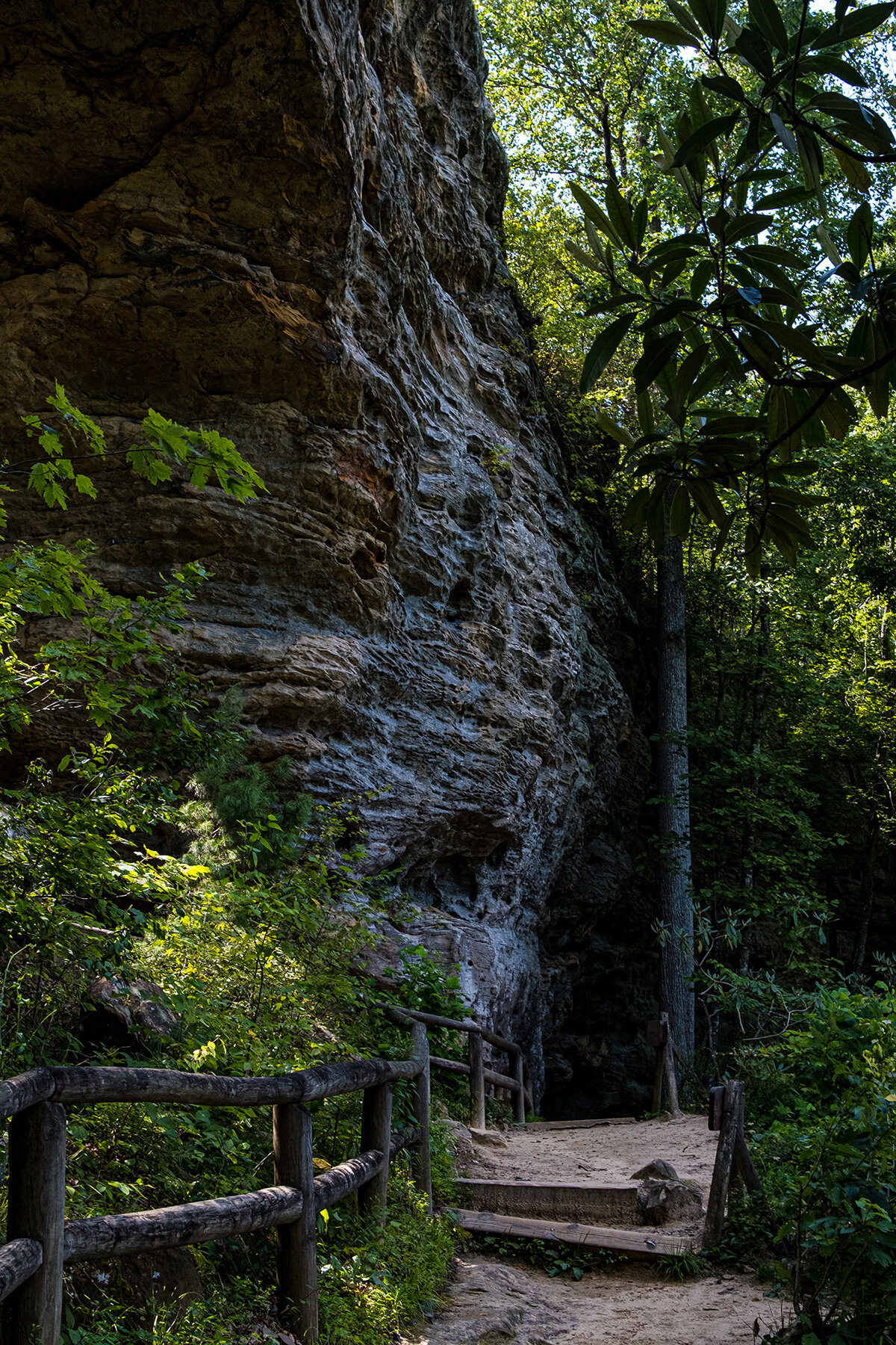


The view was worth all the sweating and gasping for air I did on my way to top.
Will I do it again?
Sure, but definitely after I have properly prep myself for the breathing and leg work needed for another Trek.